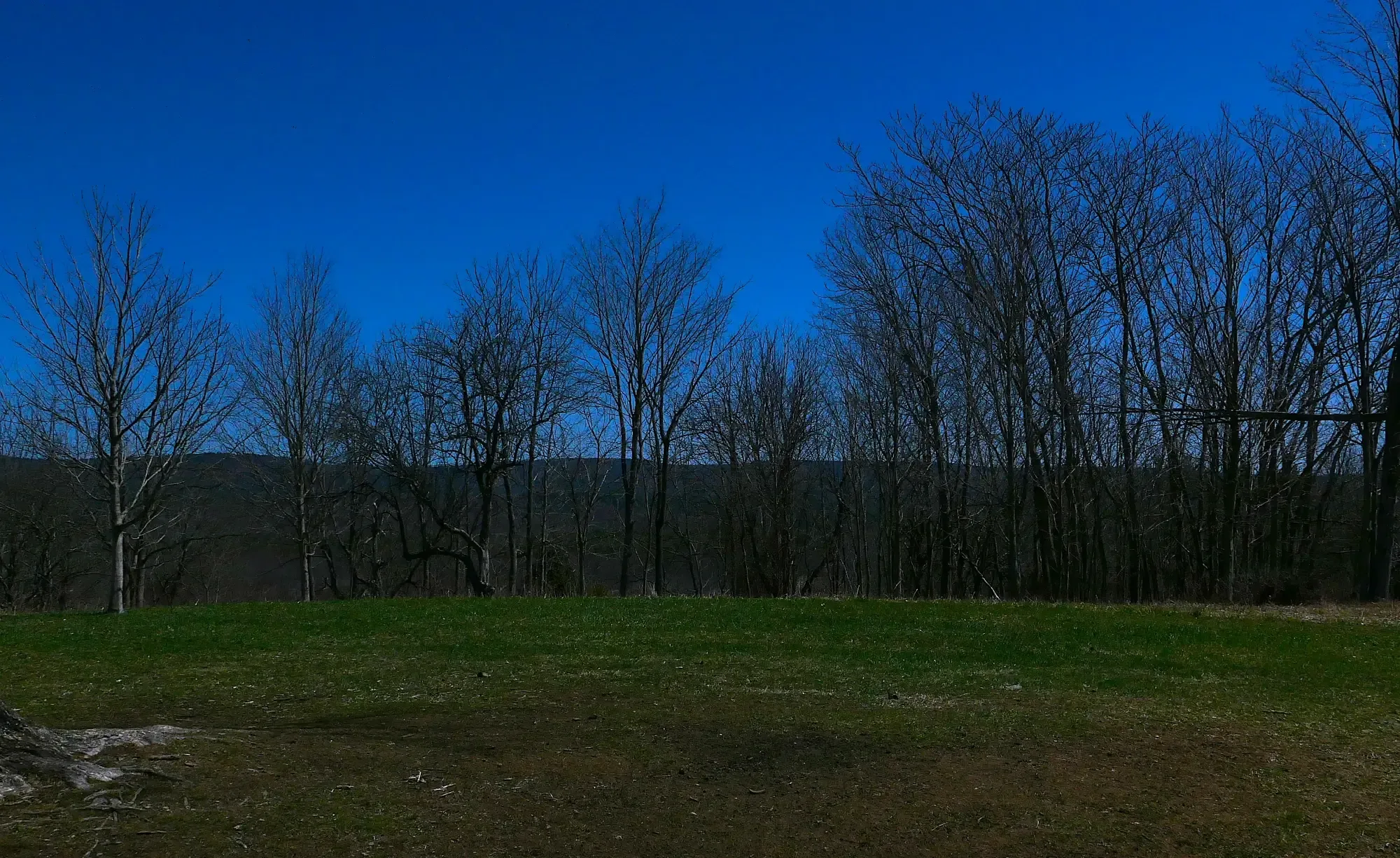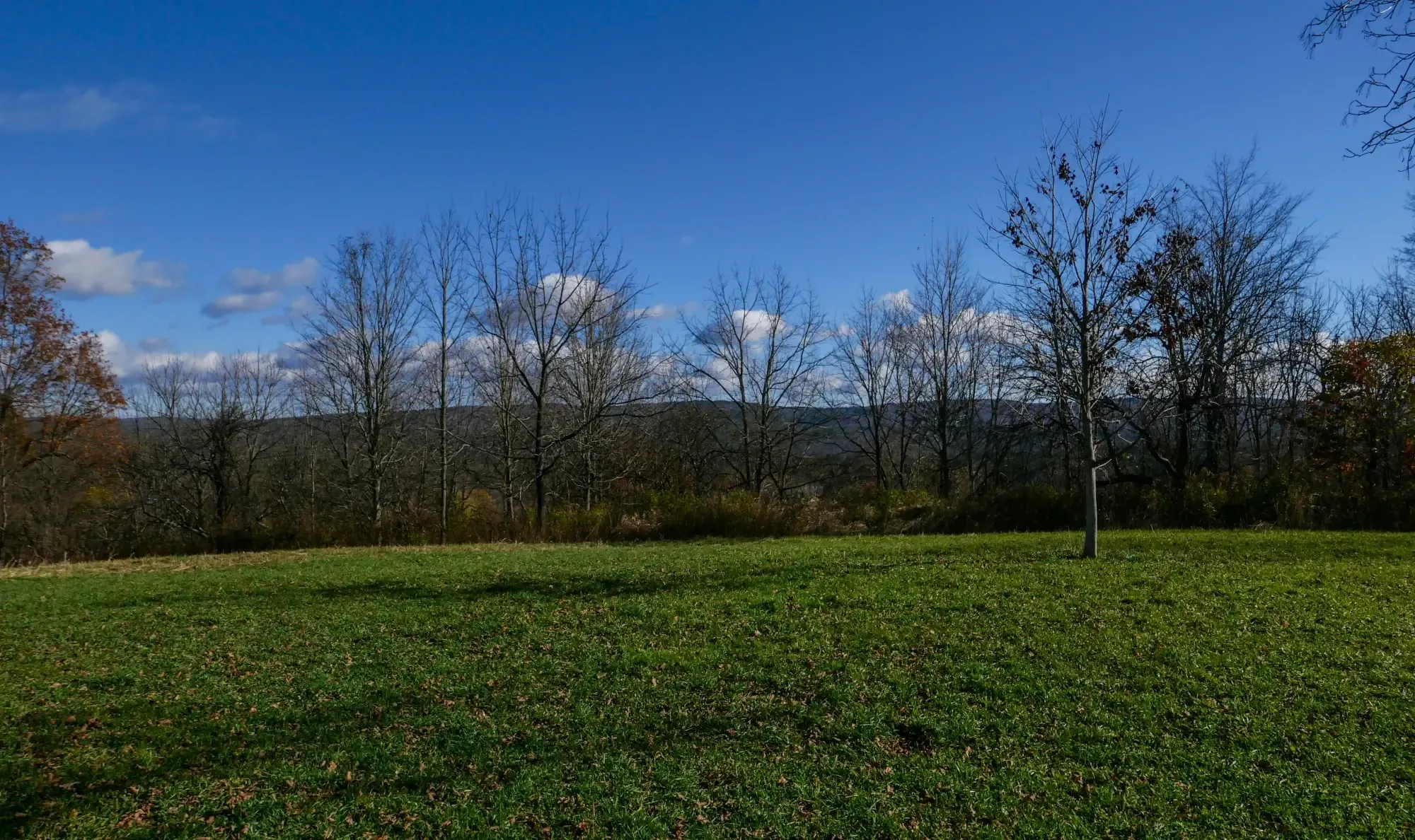
Turning to the east, the Pelham Hills begin rising less than 3 miles away from Mt. Pollux. This landform, with an elevation highpoint of 1,250 feet, forms the eastern edge of the Pioneer Valley, and is actually a structural dome with gneiss rock arching from east to west and surrounded on all but its west face by the Bronson Hill terrane. The eastern escarpment is steep and falls to a rift formerly containing the Swift River and today the Quabbin Reservoir that supplies drinking water to Boston. Along the western edge of both the dome and the terrane lies the Eastern Border Fault which runs up and down much of the Connecticut River basin. The estimated vertical offset of the fault, which has been inactive for some 140 million years, along the Pelham Hills was at its greatest 15,000 feet.
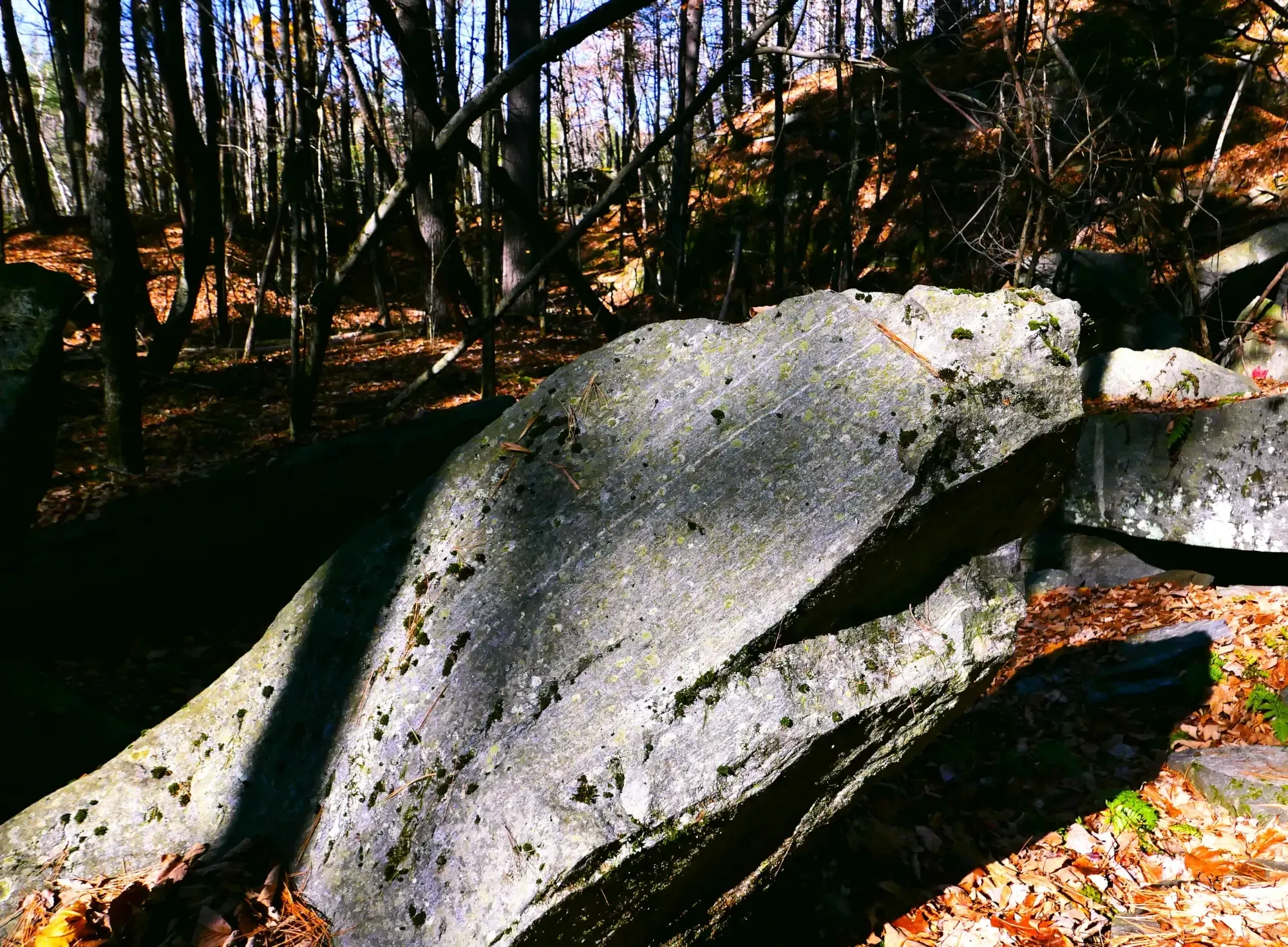
The Pelham Dome was formed ca. 300 Ma (see below) and is composed of metamorphic gneiss. Like other structures in the gneiss dome belt in Connecticut, the shape of the Pelham Dome is elongated in a north-south direction, as are many other geologic and geomorphological features in the Pioneer Valley and surrounding region.
In the past, geologists had believed that localized Alleghenian Orogeny tectonism prompted the extrusion of the Pelham Dome. However, in the last few years a new theory was developed which concerns doming in the Connecticut River Basin and indeed throughout New England. Geoscientists led by researchers from the Department of Geosciences at the University of Massachusetts, Amherst have found ample evidence for a Paleozoic era orogenic high elevation plateau that covered much of New England. This “Acadian aliplano” is thought to have developed during the Acadian Orogeny, at around 380 Ma. It collapsed and disappeared between 330-300 Ma. The plateau’s development was caused by crustal thickening that occurred east of the Iapetan suture. A 2021 paper written by the UMass geoscientists stated that by 380 Ma the crust thickness achieved was 60-70 km and elevations above sea-level were found of 5-7 km (roughly 23,000 ft).
While in existence the plateau’s western edge appears to have been near to and followed the suture line (see section on the Berkshires landform) at roughly the middle of the Berkshires according to one of the paper’s co-authors, Professor of Geology Michael L. Williams. According to the 2021 paper(s) on this subject, the plateau collapse was due to crustal thinning (to currently 20-30 km, a similar thickness to the terranes before their accretion to Laurentia) for a number of possible reasons. The demise of the thick crust was associated with the extrusion of metamorphic core complex-like gneiss domes, including that at Pelham.
The towns of Pelham and Leverett lie on the western slope the Pelham Dome just east and northeast of Amherst. According to investigations conducted by UMass geoscientists, Dry Hill gneiss, which makes up much of the dome originated from Gondwana (today, Africa). Scientists believe that the rock was deposited prior to the Salinic Orogeny involving the microcontinent-sized terrane of Gander that broke-off from Gondwana during the period of 625-605 Ma and then collided with Laurentia. The age of the Dry Hill gneiss is dated at ca. 613 Ma.
Jutting westward from the Pelham Dome is the Amherst Block, Paleozoic metamorphic bedrock which geologists denote as the dividing line within the central Connecticut River Valley into the Deerfield Basin to the north and the Hartford Basin to the south. It is thought to have been an Acadian thrust nappe transported over the Bronson Hill terrane and later dropped-down a few miles across the Eastern Border Fault. The rocks within the block are from the Silurian to Devonian periods (440 – 360 Ma). The block provides downtown Amherst and the adjacent Amherst College campus some elevation (355 ft.) above the surrounding valley bottomlands. West from the block is Mt. Warner (515 ft.), a jutting highpoint with some outcrops of Paleozoic metamorphic rock on the overwise flat Pioneer Valley floor.